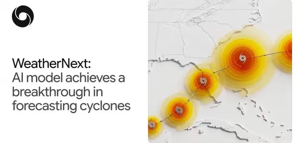
An extra day of warning before a hurricane makes landfall is not a minor improvement. It can mean the difference between a successful evacuation and a catastrophe. Google DeepMind has now announced that its WeatherNext model achieves exactly that, and the team is open sourcing the model weights and code for anyone to use.
What the research actually measured
The findings come from a paper published in Nature, where DeepMind evaluated WeatherNext Cyclones against leading operational models on historical storm data from 2023 and 2024. The benchmarks covered track prediction, intensity forecasting, and wind structure. The result: WeatherNext’s three-day forecasts match what the best previous models could only achieve at two days. That is a full 24-hour lead time advantage across all three metrics, which DeepMind says is roughly equivalent to two decades of incremental meteorological progress compressed into a single model update.
This is not a narrow win on one metric. Track and intensity have historically required separate modeling approaches because they are driven by different physical processes. Track is shaped by large-scale global atmospheric currents, while intensity is controlled by highly localized thermodynamics near the storm’s core. Most operational systems use coarse global models for one and high-resolution regional models for the other. WeatherNext handles both in a single model, trained end-to-end on nearly 20 terabytes of atmospheric data and the IBTrACS historical database covering close to 5,000 storms.
The architecture doing the work
WeatherNext uses Functional Generative Networks to produce ensembles of probabilistic forecasts. This year, the team scaled ensemble size from 50 members to 1,000, which allows the model to capture rare but high-consequence events like rapid intensification. During the 2025 hurricane season, the model predicted Hurricane Melissa’s rapid intensification and Jamaica landfall ahead of time, giving the National Hurricane Center enough lead time to issue an advance warning. That is a real operational outcome, not a benchmark number.
One finding that surprised researchers is the model’s resolution requirement. WeatherNext Cyclones operates on 28×28 km input data, roughly 100 times coarser than traditional high-resolution intensity models. A smaller variant, WeatherNext 2-mini, works at 111×111 km and still performs well. Why coarser inputs produce competitive results is still an open question the team hopes the research community will help answer.
Who this matters for and what comes next
The comparison set here includes ECMWF-ENS for track and HWRF for intensity, both of which are considered the operational benchmarks. Beating them on a historical held-out dataset is meaningful, though forecasters will reasonably want to see continued live-season performance before fully shifting trust. DeepMind has been running the model operationally with the National Hurricane Center, which adds credibility beyond controlled evaluation.
- WeatherNext Cyclones: the model that ran during the 2025 hurricane season, now open source
- WeatherNext 2: an updated version operationalized in October, also open source
- WeatherNext 2-mini: a compact version runnable on a single TPU via a free Colab notebook
For researchers and smaller meteorological agencies, the open source release is the practical headline. Running a 1,000-member ensemble forecast in under a minute on a TPU is a significant compute efficiency gain. Forecasters can now access these predictions through Google’s Weather Lab, which has been updated with a new interface covering temperature, precipitation, wind, and global forecasts alongside cyclone tracks. The broader trajectory here is clear: physics-based numerical weather prediction is not going away, but AI models are closing the accuracy gap faster than most expected.